CASE STUDY GEOSPATIAL · DATA · FULL STACK
IGNIS
Turning territorial data into actionable insight.
A wildfire monitoring and risk-analysis platform for Bolivia. Satellite detections, environmental data and predictive models brought together in one geospatial system.
- Next.js
- NestJS
- PostGIS
- FastAPI
- LightGBM
Monitoring & risk analysis
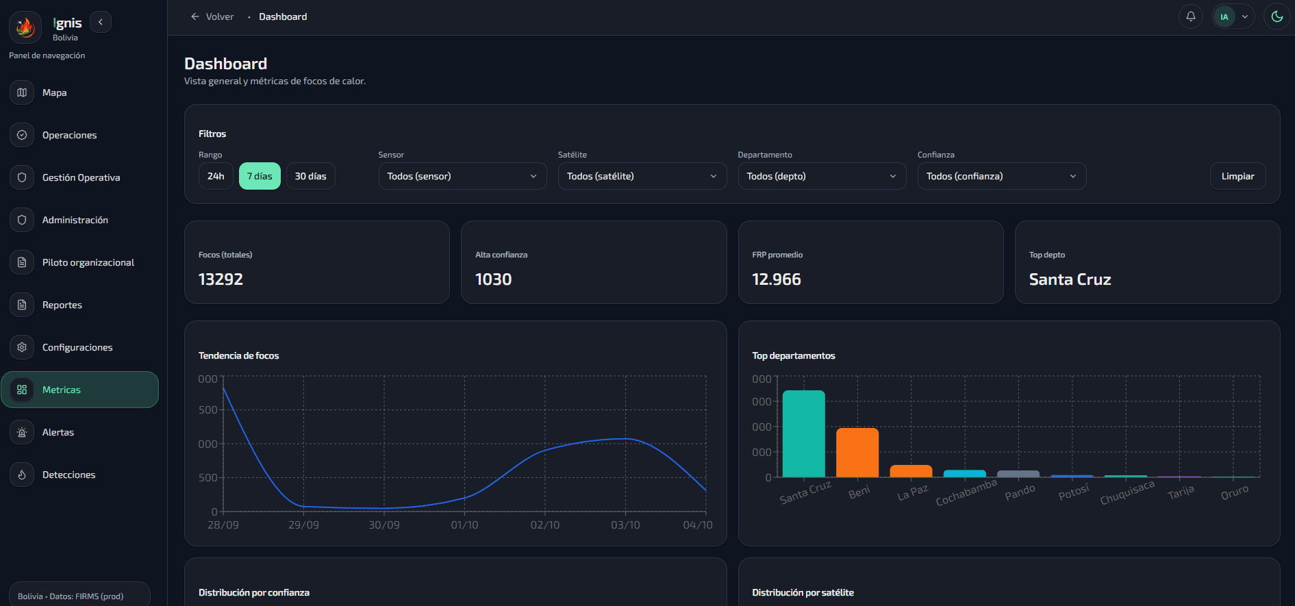
The engineering challenge
Satellite, weather, vegetation and geographic data arrive in different formats and update cycles. The platform needs consistent spatial relationships and reliable processing before those inputs become useful monitoring information.
Decisions that shaped the system
- 01
Model geographic relationships in PostgreSQL and PostGIS, with spatial operations close to the data.
- 02
Separate NestJS application services from FastAPI inference workloads so both can evolve independently.
- 03
Automate ingestion and processing, then translate results into maps and dashboards.
What this work taught me
Reliable data pipelines and infrastructure are essential to make predictive models useful inside a complete product.
Continue exploring